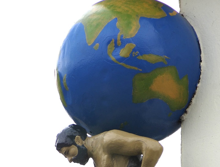
We all are familiar with the book of maps or Atlas as we know it. Why a book of maps is called an Atlas? Sailors used to carry handmade maps all the time. This bundle of maps was decorated with a picture of Greek Titan Atlas, who is believed to have carried the Earth on his back. Finally, people started calling a book of maps as Atlas. And that is what it is today – a book of Maps.
But do you know when people started making maps? It all started long ago; even before they knew that the earth is a sphere. At that time, the ocean was assumed to be like a wheel that goes around the land. Slowly as the rivers and seas were discovered the land was divided, and straight seas and straight rivers were drawn in it. It is said that the first of the maps contained only the land, Mediterranean sea and Nile river. There were no harbors or bays initially.
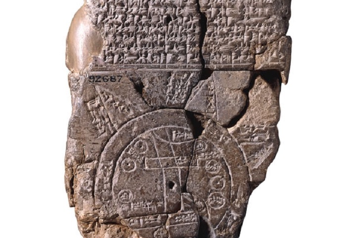
The sailors went on their voyages and found that the sea and the rivers have shapes. So the later map showed the ocean circling the land, but now the sea had a shape. Harbours were included, and rivers were made narrower than the seas.
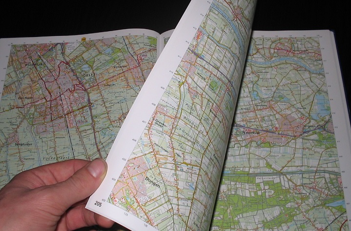
Soon men learnt better ways to measure the land to find out its shape and its height size, and the maps reflected that. Different colors were used to show different heights, something that we still use in our maps.
Today we have a good way to see if the maps are shaped the way the land is. We just take a picture of Earth!
How?
Satellites circling around Earth take pictures of Earth. These pictures give us a pretty good idea of the shape of the land. We can compare the two and see if it is a good match.
Did you know?
Cartography is a study and practice of making maps.


Leave a Reply