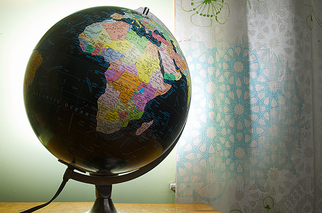
Have you ever checked out a globe? What are the lines on it? Are those lines real or imaginary?
Well, the lines are imaginary that divide our globe into extremely small sections. Hmm! But why do we even need them? Long time ago, sailors while sailing on the ocean had no idea where they were going. Often ships would get lost because of that reason. They wished for an instrument to tell them exactly where they were. In order to solve this problem, scientists in England, France and Spain worked together.
They found a solution by dividing the globe into a lot of “long lines” (Longitudes) and a lot of “flat lines” (Latitudes). All these lines divide the globe into a bunch of tiny squares, each corner point representing some place on the map. Its easy to locate a place on the map if you know its longitude and latitude.
Check out this funny video about latitudes and longitudes:-
Interesting fact:
The equator is 0 degree latitude. This imaginary line, which runs through parts of South America, Africa, and Asia is the halfway point between the North Pole and the South Pole.
The prime meridian is 0 degrees longitude. This imaginary line runs through the United Kingdom, France, Spain, western Africa, and Antarctica.
Answer this:
0 degrees Latitude, 0 degrees Longitude? Where will you be? Swimming in the Atlantic ocean :)


Leave a Reply